Station Review #66: Frankford and Knights Loop/City Line Loop (SEPTA)
Frankford and Knights Loop, also known as City Line Loop, is a bus loop located at Frankford Avenue and Knights Road in Philadelphia's Crestmont Farms neighborhood.
Routes Serving the Loop
Route 66: This bus goes between Frankford Transportation Center and Frankford and Knights Loop via Frankford Avenue. This bus is a trolleybus route, one of the three in the city. It was formerly a trolley, and this is the reason for the existence of this loop.
Route 129: This bus goes between Frankford and Knights Loop and Oxford Valley Mall in what is possibly the longest way possible. Along the way it serves Bensalem, Newportville, Bristol, Levittown, and Penndel, before going to Oxford Valley and ending at Oxford Valley Mall.
Route 130: This bus goes from Frankford and Knights Loop to Newtown, going to PARX Casino and Neshaminy Mall along the way, as well as linking Bensalem to the Bristol and Newtown corridor, a line of old streetcar suburbs that formed on the Bristol and Newtown Interurban line (which actually was a series of four interurban lines with through running that went from Bristol to Doylestown). These towns served by the 130 include Hulmeville, Penndel, Langhorne Manor (where it connects to the 14, 129, and West Trenton Line), Langhorne, and Newtown, before ending at Bucks County Community College in Newtown Township. It is very possible that the 130 is the heavily altered successor to the old bustitution for the Bristol-Newtown Interurban.
Despite all of this the 130 happens to also be fairly circuituous, but at least it's useful, being the only transit in multiple of the towns it goes to. The 130 will be getting split in two at Neshaminy Mall for the Bus Revolution, with the second route - Route 87, going from Torresdale Station, past Neshaminy Mall, towards Linconia.
Route 133: This route goes between Frankford and Knights loop and Eddington station. This bus used to go much further past this to Bristol but was cut back in the mid 2000s. In 2019, there was a proposal to merge this route with the 66, and either removing all trolleybus equipment from the 66 or adding it along the 133's route. Neither ended up happening for obvious reasons. The 133 will be getting turned into microtransit after the Bus Revolution gets implemented.
Tour
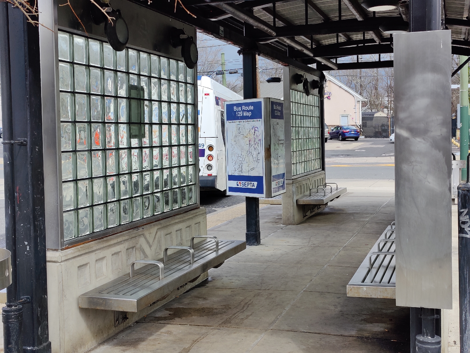
There's not much at the loop itself.
Inside the shelter there are a few benches and a weird triangular map installment that has outdated maps
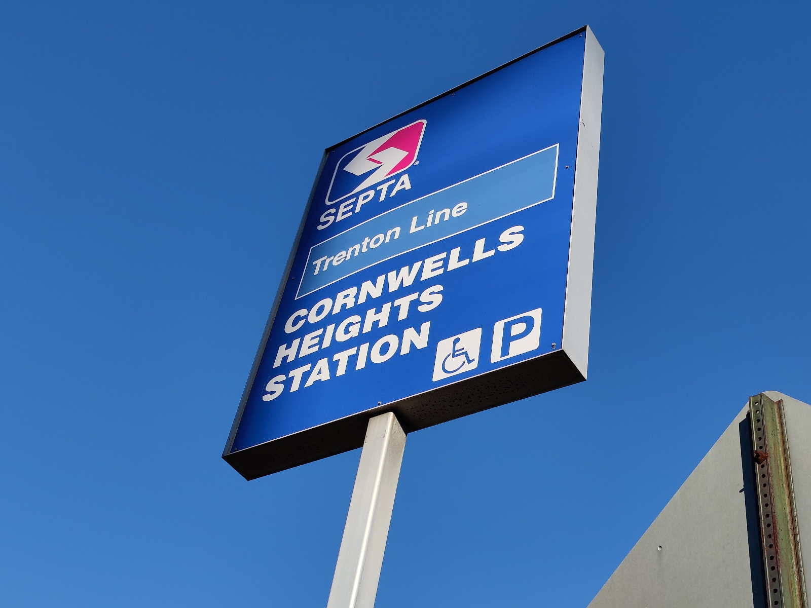
This is a sign for "City Line Loop", at the exact same place as "Frankford and Knights Loop". I don't know which is correct here, I'd rather they chose one of the two names.
Nearby Transit Connections
There are actually a few transit connections near Frankford and Knights Loop that don't actually go to the loop, these include:
Route 67: This is a bus that goes from Frankford Transportation Center to Philadelphia Mills but does this via Fox Chase and Pine Valley. Most trips of the 67 short turn at Bustleton and Red Lion. The section of the 67 from that intersection to Philadelphia Mills may as well be a completely different bus route that runs hourly. In my opinion, the 67 is one of the worst city division bus routes. After the bus revolution, this bus will be split into two routes, the 67 - which will terminate at Tomlinson and Rennard in Somerton, and the 85 - which will take over most of the rest of the route and go between Frankford and Knights loop and Bethayres station/Holy Redeemer Hospital.
Route 84: This is a bus that runs between Frankford Transportation Center and Bustleton-County Line in Forest Hills via state road. Most 84 buses short turn at Philadelphia Mills. This bus is useful for going to many of the business and industrial parks in Northeast Philadelphia. Post-Bus Revolution, this will be split into the 84 and 86, the 84 being the same as it is minus everything after Philadelphia Mills, which will be put into the 86. The 86 will not go onto Philmont avenue and instead will end at Forest Hills station, but in exchange will give more frequent service to Cornwell Heights station, the new terminus.
Trenton Line: This is a commuter rail service offered by SEPTA that links the section of the Northeast Corridor between 30th Street station and Trenton to Center City. This service allows local service for the neighborhoods and towns along this corridor, one of which being Torresdale. Torresdale Station is the closest station to Frankford and Knights Loop, being only about a 15 minute walk away.
Points of Interest near Frankford and Knights Loop
There's actually quite a bit nearby this loop, including:
• Jefferson Hospital Torresdale - Formerly Torresdale Hospital, at one point this got absorbed into the Jefferson hospital network. This is a local hospital.
• Holy Family University: A local Christian university, fairly small.
• Morrell Plaza: A fairly average shopping plaza anchored by a Shop-Rite.
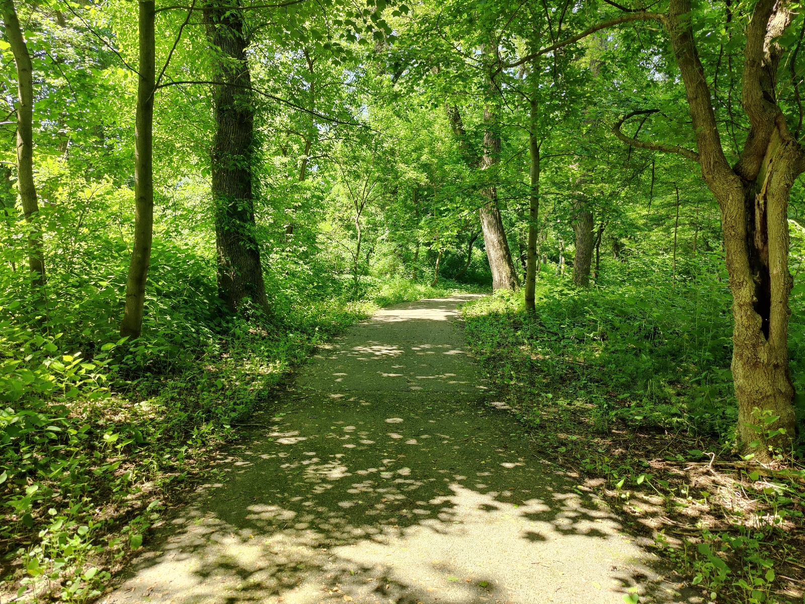
• Poquessing Creek Park: This park is near the bus loop, and is actually incredibly nice to visit.
Along the trail, there's also abandoned ruins, like this:
It's unknown what exactly this is, my guess is that this is some sort of chimney, maybe for one of the many mills that used to exist along the Poquessing Creek.
Statistics
Name: Frankford and Knights Loop
Agency: SEPTA
Line(s): 66, 129, 130, 133
Locality: Crestmont Farms
City/Township: Philadelphia
County: Philadelphia
State: Pennsylvania
Ridership: N/A
Amenity Checklist
Accessibility: ✓
Employee bathrooms: ✓
Clean: ✓
Connections to other transit routes: ✓
Easy to get around: ✓
Lighting: ✓
Maps: ✓
Seating: ✓
Shelters: ✓
Something for fares: ×
Station in Good Condition: ✓
Updated/Clear Signage: ×
Final Verdict: 7/10
Station Directory
--------Philadelphia County--------
Frankford Transportation Center
Cottman Avenue
Gregg Street
Frankford and Knights/City Line


Comments
Post a Comment